Analyze the historic and contemporary relationship of people to land in Canada.
| (a) |
Distinguish between physical and political maps and investigate the application of mapping and data management (i.e., geographic information systems) technology. |
| (b) |
Differentiate between Canada's various geopolitical constructs, including a country, a province, and a municipality. |
| (c) |
Outline the predominant physical features of the regions of Canada, including the Western Cordilleran, Interior Plains, Canadian Shield, Great Lakes/St. Lawrence Lowlands, Appalachian, and Arctic/Innuitian regions (e.g., vegetation zones, resources, bodies of water, and principal landforms). |
| (d) |
Undertake an inquiry investigating the relationship between Canada's physical geographic features and the population distribution. |
| (e) |
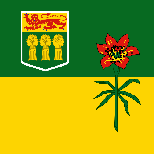
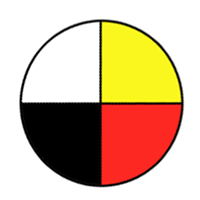
Explain the meaning and origin of a variety of Canadian symbols and consider the purposes of such symbols (e.g., coat of arms, motto, flag, beaver, feather, drum, RCMP, national anthem). |
| (f) |
Investigate reasons for western expansion of Canada in the 19th and early 20th centuries, and the consequences of the expansion. |


- Come and Learn with Me = Éwo,séh Kedidih
- Living Stories = Godi Weghàà Ets' eèda
- Proud to Be Inuvialuit = Quviahuktunga Inuvialuugama
- The Caribou Feed Our Soul = ?étthén bet à dághíddá
- The Delta is My Home = Ehdiitat shanankat t'agoonch'uu = Uvanga Nunatarmuitmi aimayuaqtunga
- We Feel Good Out Here = Zhik gwaa'an, nakhwatthaiitat gwiinzìi


The young boy rows to a nearby island and hunts hare for the celebration. While at the island, a storm begins and a canoe carrying a gentleman from the North West Company is caught on the lake. The boy helps the canoe land and takes the gentleman to town in his canoe, earning the voyageur's red sash.
The book includes brief background information on Fort William and a glossary.

A teacher's guide is available.
- The Appalachians
- The Atlantic Coast
- The Canadian Shield
- The Great Lakes
- The Rockies


- The First Nations Series for Young Readers Teacher Resource. Grades 4-10


The text includes a table of contents and a table of figures. Black-and-white drawings and colour templates support the text. A study guide is available. A copy of the text was provided to schools in spring 2011.

- Saskatchewan Social Studies 5. Teacher Resource with DVD

The book includes photographs, illustrations, a table of contents, a note on the symbols used in the book and an index.

- Nelson InfoCanada Geographic Regions Classroom Pack
- The Appalachian Highland
- The Arctic
- The Canadian Shield
- The Cordillera
- The Great Lakes Lowland
- The Interior Plains
- The St. Lawrence Lowland


